Albert Bierstadt (German-born American painter, 1830-1902) Mountains Wind River, the territory of Nebraska (1862)
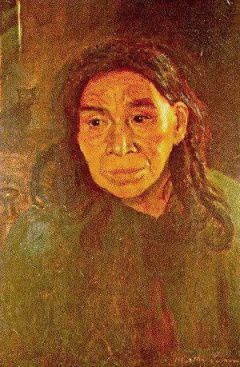
Matthew Biagell explains in his book Albert Bierstadt that,"Athough Bierstadt made probing studies of individual Indians during his travels in the West, he usually generalized their appearances & activities in his paintings. He placed them, as he placed European peasants in earlier works, in the middle distance, so that we witness their presence in a landscape setting rather than focus on their movements." Many of his landscapes including Native Americans are the western equivalent of his European generalized landscapes & reveals Bierstadt's consistent attitude toward subject matter regardless of its locale human subjects are engaged in seemingly unrelated activities. His paintings, bathed in a golden glow, often suggest nostalgia for a previous age when Native Americans were thought to have lived harmoniously with nature. Here they are not wily, wicked, or predatory, but are engaged instead in peaceful domestic industry. Works such as this are obviously part of the broad western European tradition of Arcadian scenes, but in its American version the tradition assumes a particular complexity & ambivalence. His painting including Natives often portray the nobility of the Indians before their contact with Europeans & subsequent debasement. Paintings displaying this attitude undoubtedly provided the public with the images it wanted to see, especially during the years Indians were systematically being driven from their lands. Suchromanticized paintings might also be considered retardataire; the Indian, noble or otherwise, no longer engaged many serious 19C writers after the 1850s, & precise anthropological & linguistic analyses of Indian tribes were already being included in the Pacific railroad reports by that time.
Albert Bierstadt (German-born American painter, 1830-1902) was best known for these lavish, sweeping landscapes of the American West. To paint the scenes, Bierstadt joined several journeys of the Westward Expansion. Bierstadt, was born in Solingen, Germany. He was still a toddler, when his family moved from Germany to New Bedford in Massachusetts. In 1853, he returned to Germany to study in Dusseldorf, where he refined his technical abilities by painting Alpine landscapes. After he returned to America in 1857, he joined an overland survey expedition traveling westward across the country. Along the route, he took countless photographs & made sketches & returned East to paint from them. He exhibited at the Boston Athenaeum from 1859-1864, at the Brooklyn Art Association from 1861-1879, & at the Boston Art Club from 1873-1880. A member of the National Academy of Design from 1860-1902, he kept a studio in the 10th Street Studio Building, New York City from 1861-1879. He was a member of the Century Association from 1862-1902, when he died.


%2BIndian%2BLodge.jpg)